Remote Sensing
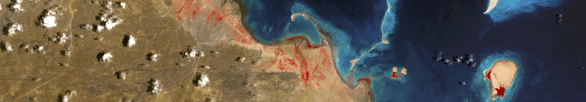
Remote Sensing is a powerful tool wthat can enable detailed land analysis on a large scale and be used for environmental monitoring at regional and/or country level. Information extracted from satellite images are essential for informed land planning, consistent natural resources assessment, disaster early warning and management, and other tasks.
Nike air jordan Sneakers | Women's Nike Air Jordan 1 trainers - Latest Releases , Ijmedph
English
Ranking:
25
url path:
/information-management/information-services/remote-sensing