SWALIM Supports the Drought Operation & Coordination Centre (DOCC) in Mogadishu
The humanitarian situation in Somalia has been deteriorating since drought was declared in late 2016. It is estimated that 6.2 million people are in need of humanitarian aid during this period. Most affected being women, children and the old in the community. Poor rains received during the last 2 years have made the already harsh conditions worse with acute shortage of clean drinking water, failed crops, deaths of thousands of livestock and sharp increase in food prices making the situation worse and unbearable. As the situation worsens, a huge number of the population is migrating from the rural areas and moving into the urban areas creating IDP camps adding pressure to the already stressed food and water supplies.
Humanitarian Agencies have used the Cluster Approach to respond to emergencies. Clusters are groups of humanitarian organizations, both UN and non-UN, in each of the main sectors of humanitarian action e.g. water, nutrition and health. These Agencies work with different Clusters to improve operations, avoid gaps, and prevent overlap and duplication of activities.. Allocation on to a Cluster is based on the core activity of the organization, for example FAO and WFP are in the Food Security Cluster while UNICEF is in the Education and Nutrition Cluster. The activities carried out by the Clusters are coordinated by the Humanitarian and Emergency relief coordinator.
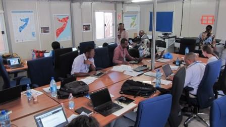
In response to this crisis in Somalia the Humanitarian and Emergency relief coordinator, supported by the humanitarian country team, has established 3 Drought Operation and Coordination Centre commonly known as DOCC in Mogadishu, Baidoa and Garowe. The DOCC’s are providing a platform where all the clusters come together to plan and execute humanitarian operations. DOCC’s are helping in coordination of operations, logistics and security arrangements among the humanitarian workers. DOCC’s allow for sharing of critical data and information with the State Administrations and among the different clusters within the UN.
SWALIM is offering technical support to the DOCC in Mogadishu. This support is directly offered by both the Remote sensing/GIS unit and the Water Unit. The Remote Sensing/GIS unit is offering its technical support in map making and analyzing of data that are received from the field, turning this into infographics or customized maps according to the communication needs. Maps are a useful tool in helping emergency responders, aid groups and communities to better respond to an emergency. Maps help in understanding the relationships, trends and patterns on the current situation. Example of Maps done for DOCC are: a map done to track cholera cases and forecast where the next case can occur thus enable the health cluster come up with a mitigation measure for the next town. Road map that helps the logistics cluster plan the best and fastest way to get help to the ones in need. Maps done showing the IDP’s camps enable the logistics team plan on how the much needed aid can reach all those in need.
The Water team has an elaborate and effective hydro met monitoring network across the country that is providing daily critical information on rainfall and drought dynamics thus assisting the DOCC’s in planning for different drought relief and famine prevention activities. The monitoring includes river levels, rainfall and the status of strategic boreholes. This information is used by the DOCC’s to advice decision makers on water availability for both domestic and livestock use and irrigated crop production. The water team also provides weather forecast which allows for planning by the clusters on water trucking, rehabilitation and preparation of canals, repair and fixing river breakages among other uses.Giftofvision - Sneakers search engine | Space Jam x Nike Lebron 18 Low Wile E. x Roadrunner - Grailify