Useful Links
Water publications
SWALIM has recovered and produced a vast number of water-related publications touching on areas such as water quality, rainfall, irrigation, water supply, rain water harvesting, water demand among others. These publications can be accessed through our digital library which allows you to browse and search for publications based on specific topical areas of interest, titles and types of publications or names of authors. Below are some of the highlighted SWALIM publications. To search for specific publications, please visit our Library.
Publications
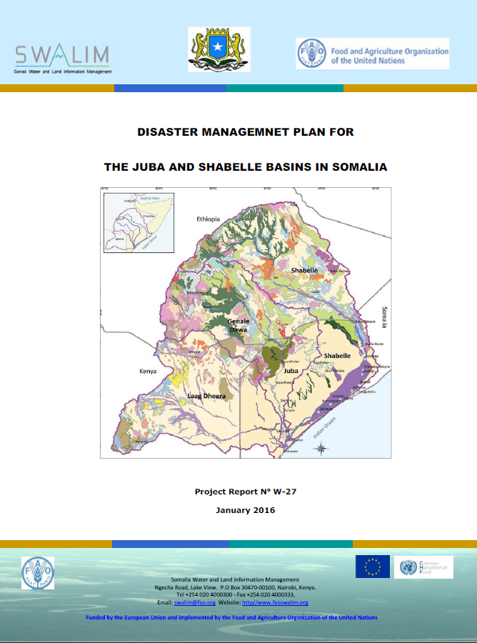
W-27 Disaster Managemnet Plan for the Juba and Shabelle Basins in Somalia
This Contingency Plan articulates what the Federal Republic of Somalia Government through Disaster Management Authority (DMA) and with the support of partners will do to prevent or reduce any potential adverse impacts emanating from floods and drought disasters.Publication Download
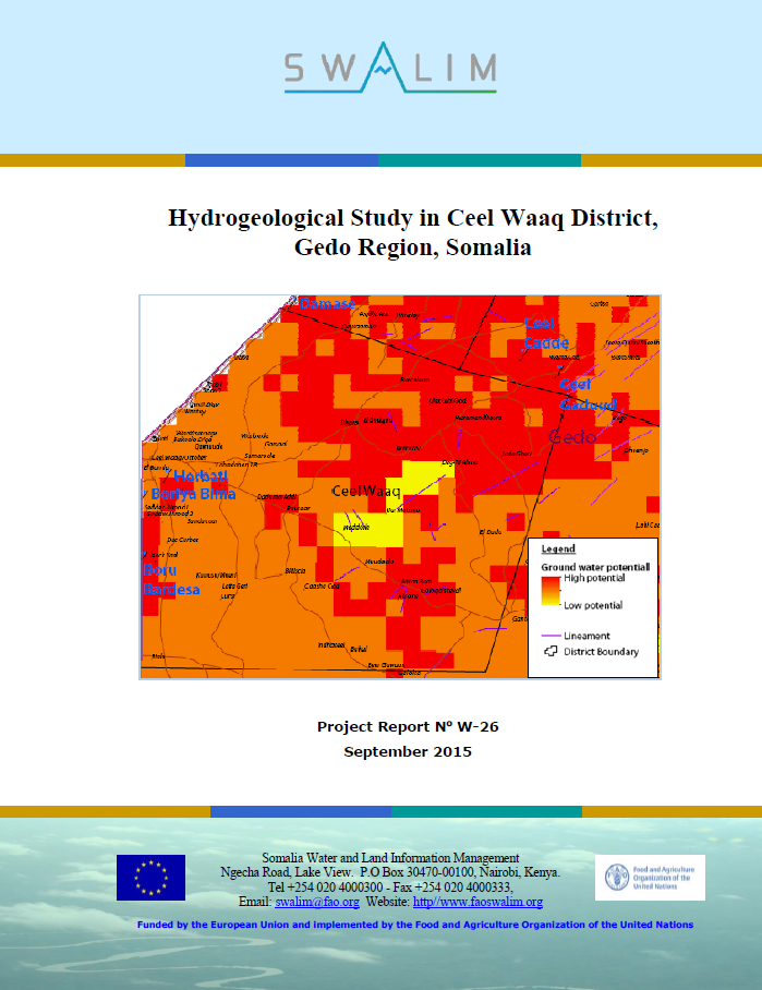
W-26 Hydrogeological Study in Ceel Waaq District, Gedo Region, Somalia
The study demonstrates the validity of using Landsat imagery to delineate fracture zones, hence areas of relatively higher groundwater potential. Recharge water is channeled along regional fractures that enhance hydraulic connectivity hence higher fluxes along these lineaments.Publication Download
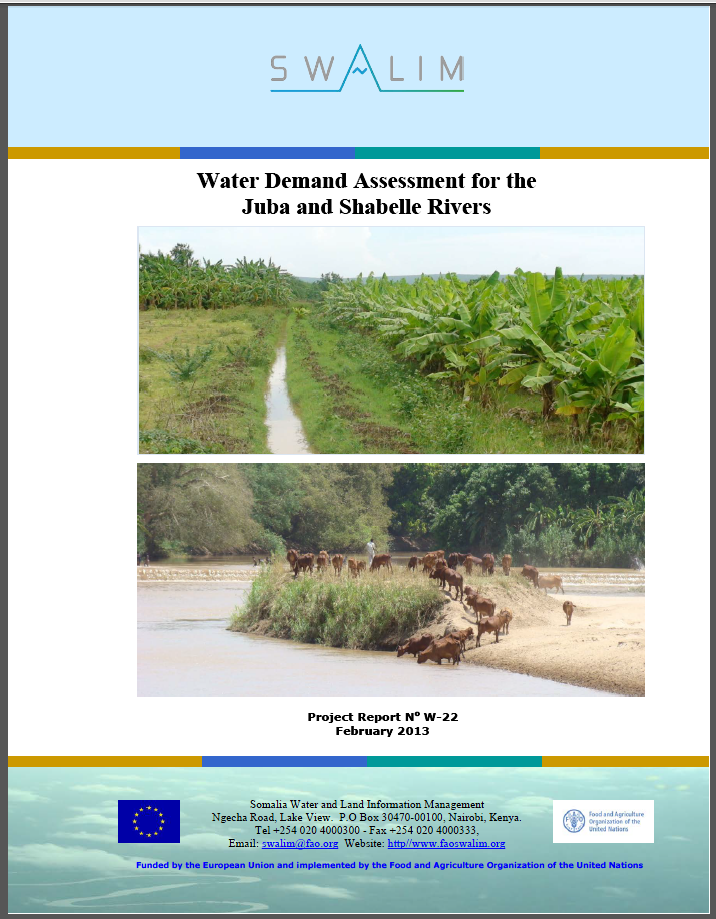
W-22 Water Demand Assessment for the Juba and Shabelle Rivers
The Juba and Shabelle rivers are the only perennial streams in Somalia. They originate in Ethiopia, where over 90 percent of the stream flow is generated. The two river basins cover an area 174,600 km2 within Somalia.Publication Download
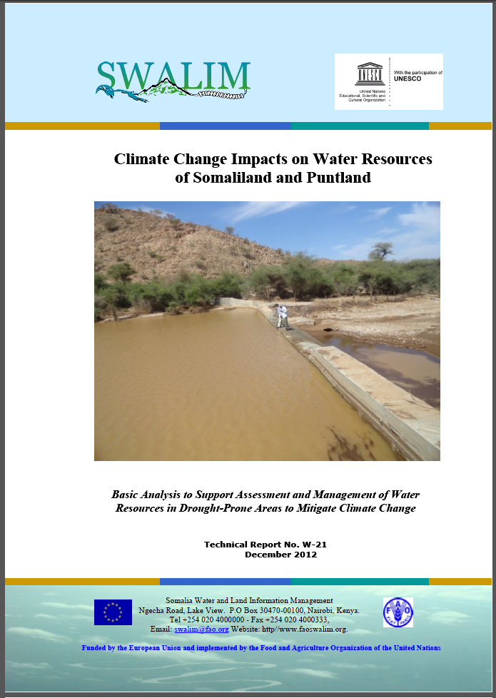
W-21 Climate CHange Impacts on Water Resources of Somaliland and Puntland
Identifying, assessing and developing groundwater resources is now an urgent priority for emergency relief and long-term development in all countries in the Horn of Africa affected by drought and water scarcity.Publication Download
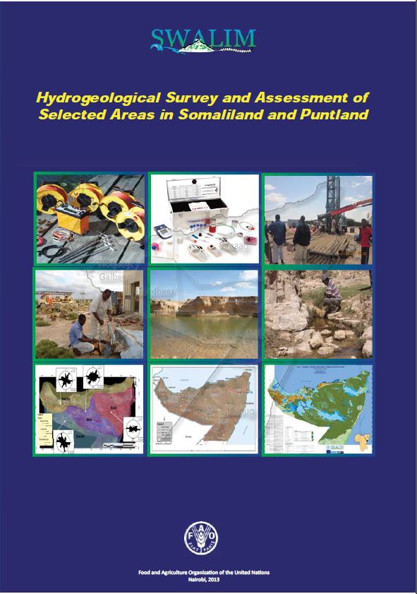
W-20 Hydrogeological Survey and Assessment of Selected Areas in Somaliland and Puntland - Report No W-20
This report documents an assessment carried out in 2011/2012 to identify potential groundwater aquifers in Somaliland and Puntland.Publication Download
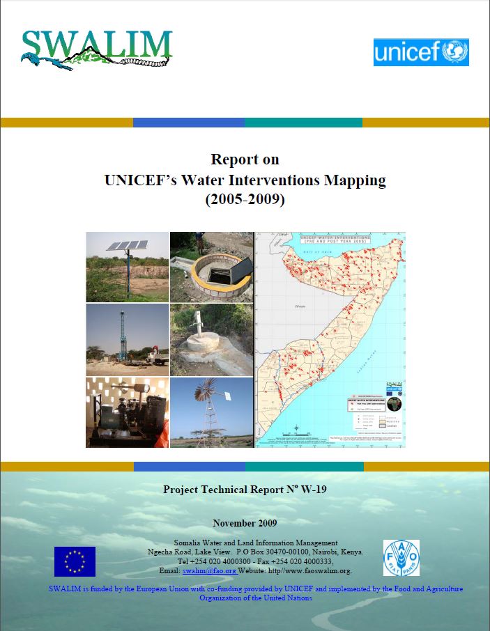
W-19 UNICEF’s Water Interventions Mapping Report (2005-2009)
The major objective of the mapping exercise was to evaluate progress made in the water sector in terms of coverage of water services and increase in number of benefi ciaries served through UNICEF’s EC funded programme.Publication Download
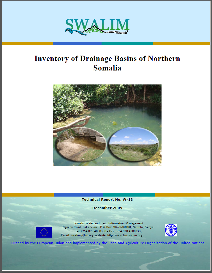
W-18 Inventory of Drainage Basins of Northern Somalia
Addressing issues of natural resources requires a holistic approach that recognizes the interdependence between competing demands and limited resources. Integrated watershed management is recognized as the best instrument for dealing with water and natural resources.Publication Download
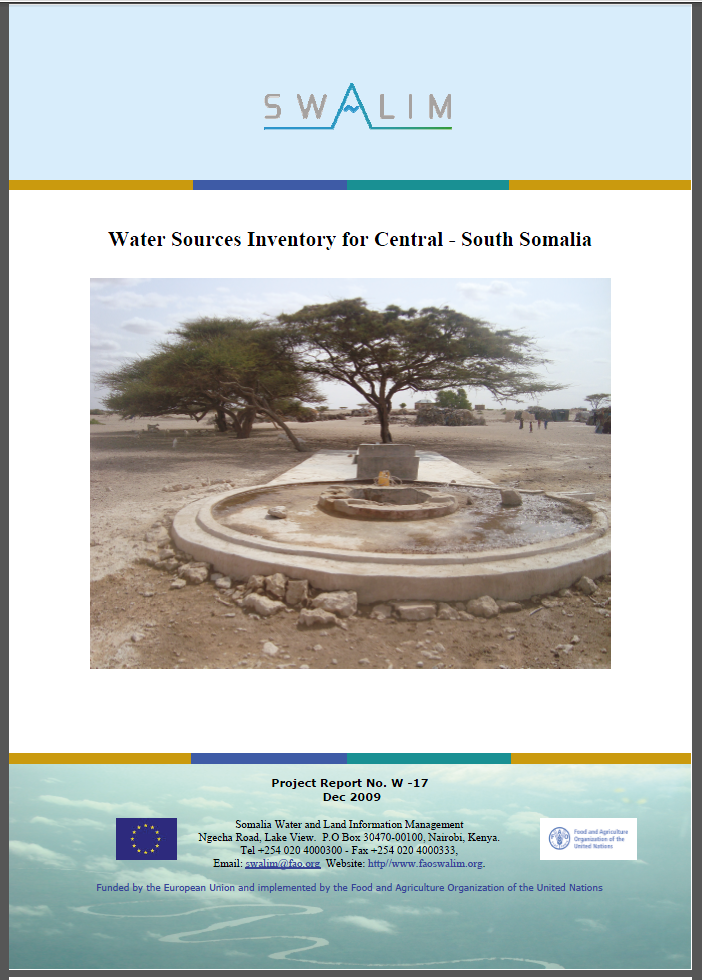
W-17 Water Sources Survey Invetory for Central South Somalia
Somalia’s surface water resources are concentrated mainly along the two perennial rivers, Juba and Shabelle. The flow in both rivers varies widely across the seasons.Publication Download
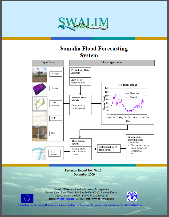
W-16 Somalia Flood Forecasting System
Floods are a common phenomenon in the riverine areas of the Juba and Shabelle River basin. The two rivers exhibit seasonal characteristics in their hydrological regime with high tendency of flooding especially during the Deyr (October to November) rain season.Publication Download
W-15 Flood Risk and Response Management
Floods regularly cause disasters in Somalia, and in particular along the Juba and Shabelle Rivers in the southern part of the country.Publication Download
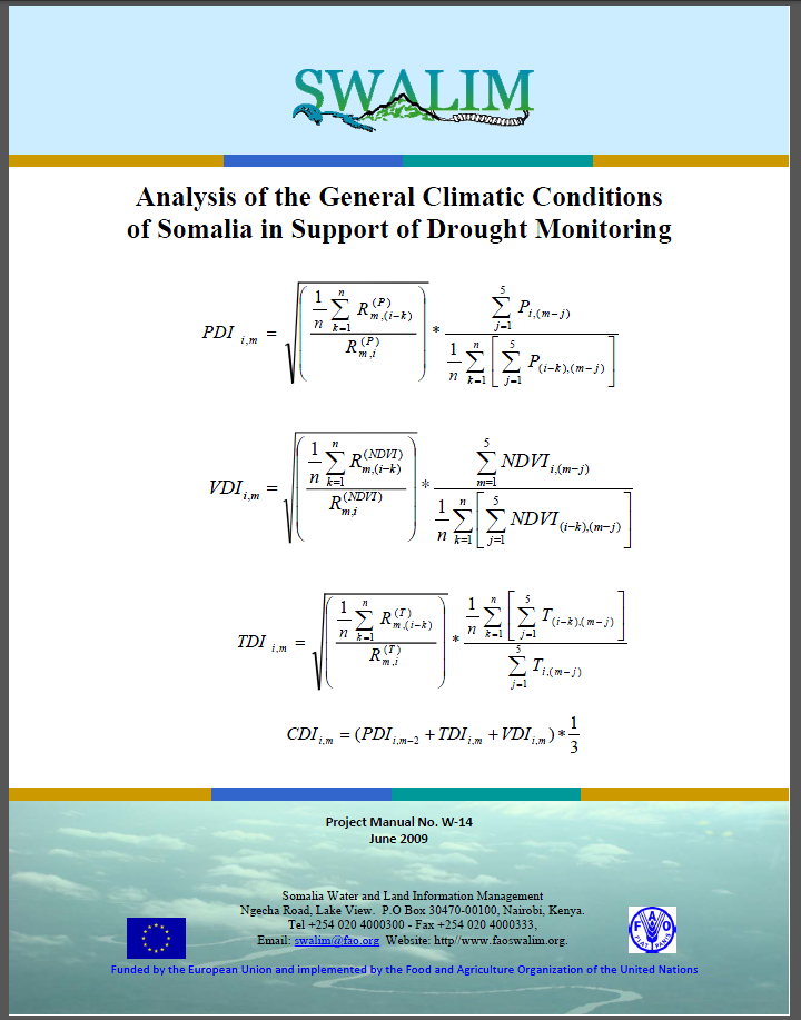
W-14 Analysis of General Climatic Conditions in Somalia in Support of Drought Monitoring
Africa is characterised by extremes of climate both spatially and temporally. Unlike in the temperate zones where growing seasons primarily reflect changes in temperature, Africa's rhythms of life reflect rainfall as the "limiting" factor.Publication Download
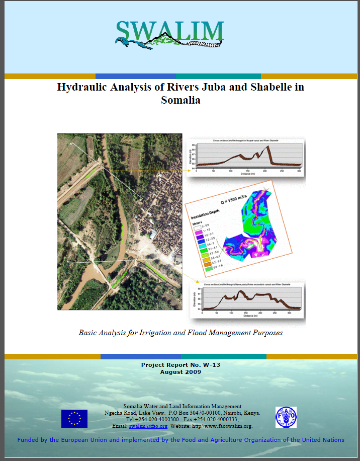
W-13 Hydraulic Behaviour of the Juba and Shabelle Rivers
The alluvial plains of the two Somali perennial rivers, the Shebelle and Juba Rivers, have been and could be the breadbasket of Somalia. They have considerable potential for irrigation development.Publication Download
W-12 Water Sources Inventory for Northern Somalia
The number of water sources information collected in SWIMS through partners implementing water projects in the field during SWALIM II was limited.Publication Download
W-11 - Water resources of Somalia
The report is a synthesis of SWALIM water assessments and reports, supplemented by detailed statistical analysis of the temporal and spatial variability of the available surface and groundwater resources, and their existing and potential uses.Publication Download
W-10 Improving Flood Forecasting and Early Warning in Somalia
Somalia experiences severe fl ooding in the riverine areas of the Juba and Shabelle. Increased severity and frequency of these floods have in turn led to increased economic damage and human casualties whenever these fl oods occur.Publication Download
W-09 - potential of rainwater harvesting in somalia
Somalia covers an area of 637,657 km2 with the population in 2003 estimated at 7.5 million inhabitants. Somalia economy is predominantly agricultural (crops and livestock, the latter being a major mainstay). The economy depends highly on water availability, which in turn is reliant on rainfall.Publication Download
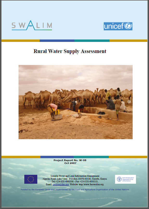
W-08 Rural water supply assessment
Water resources in Somalia are limited both in quantity and quality, with frequent droughts and floods further worsening the water security situation in the country. Before the onset of civil war in early 1991, the main institution in charge of water resources management in Somalia was the MinistryPublication Download
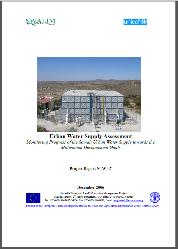
W-07 Urban Water Supply Assessment
A technical assessment of the water sources was carried based on the Somalia Water Sources Information Management – SWIMS SoftwareThe data and information collected during these assessment included maps of water supply systems for each town surveyed showing each water source (boreholes only), storaPublication Download
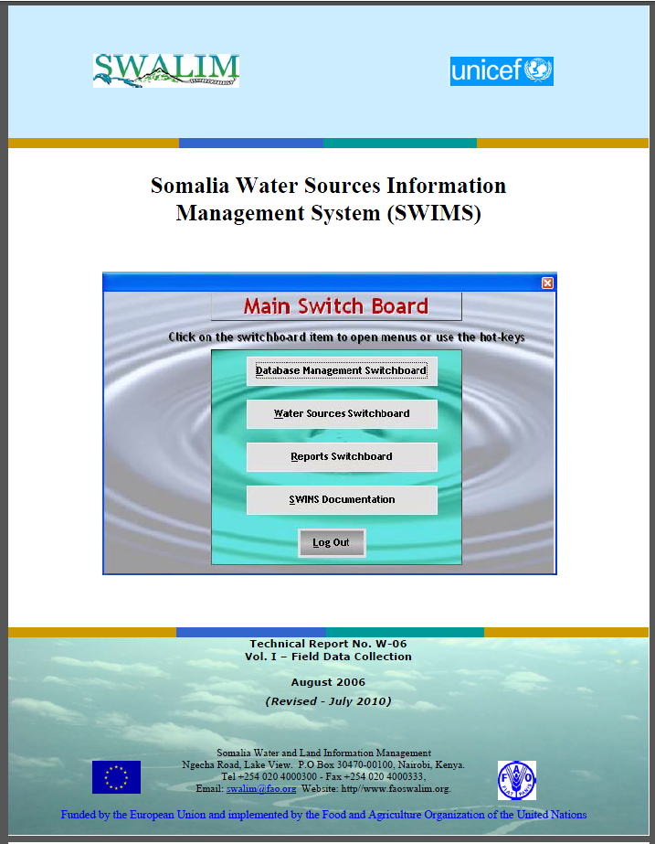
W-06 Somalia Water Sources Information Management System
SWIMS is a tool designed to build an inventory of water sources in Somalia that will allow a basic characterization of the sources in terms of physical, socio-economic and management practices.The purpose of this field guide is to ensure a common approach to collecting data in the field is employedPublication Download
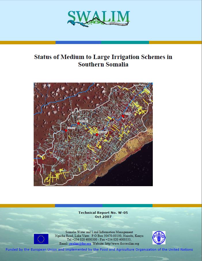
W-05 Status of Medium to Large Irrigation Schemes in Southern Somalia
Although irrigated agriculture was the life-line of the Somali economy before the start of civil strife in 1990, much of the information on the pre-war irrigation systems is lost and little is known about their present status.Publication Download
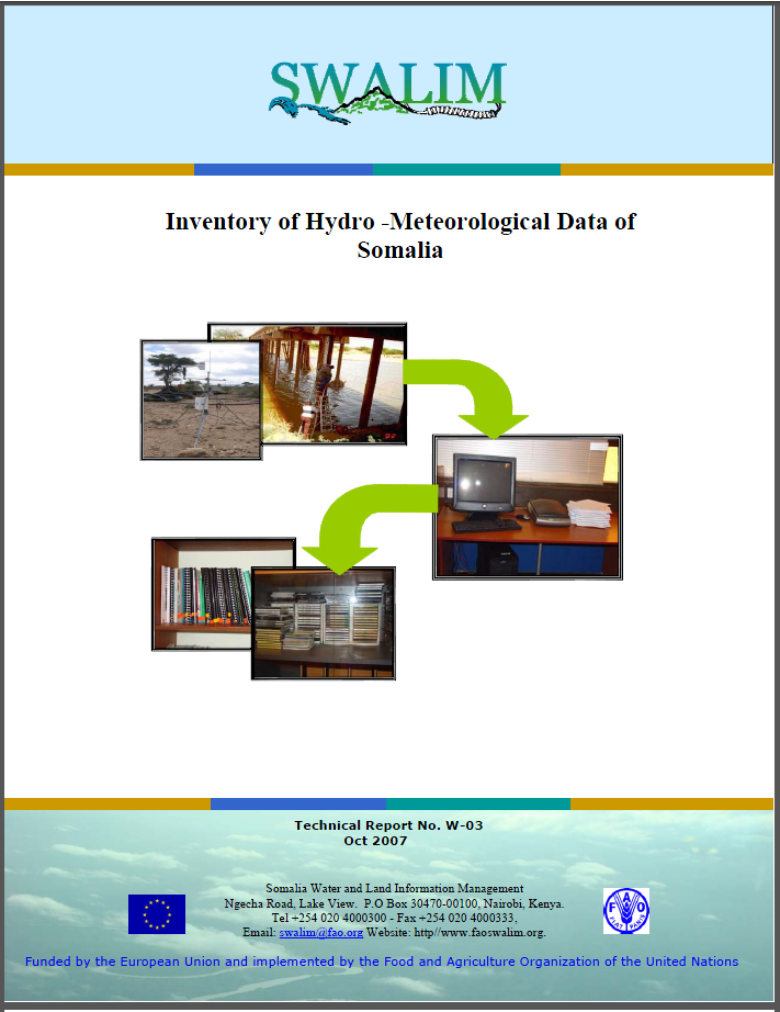
W-03 Inventory of Hydro-Meteorological Data of Somalia
Developing countries; especially in Africa, face great challenges in data and information management.Publication Download
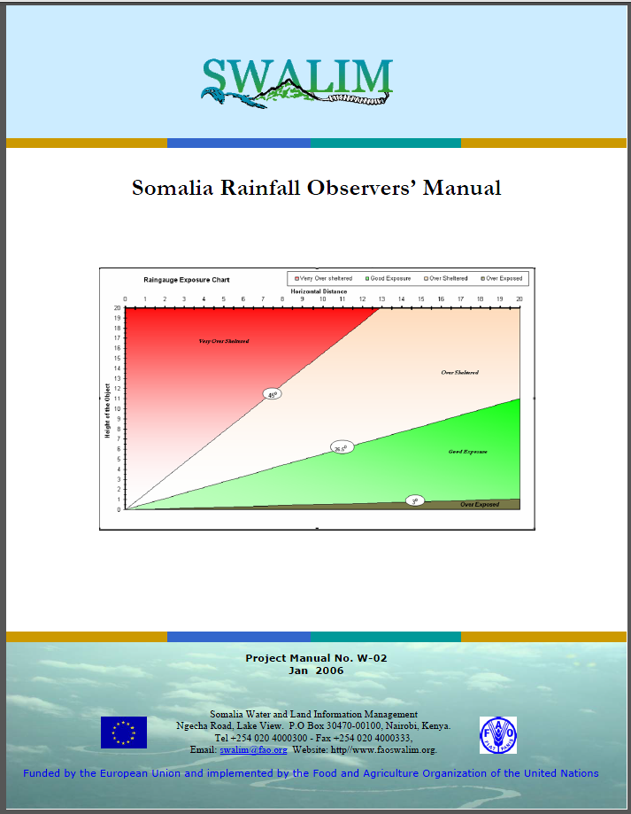
W-02 somalia rainfall observers' manual
SWALIM is re-establishing the national manual rain-gauge network as part of its water and land information systems. The national data set formed will be used to support climate mapping, flood early warning and other hydrological studies.Publication Download
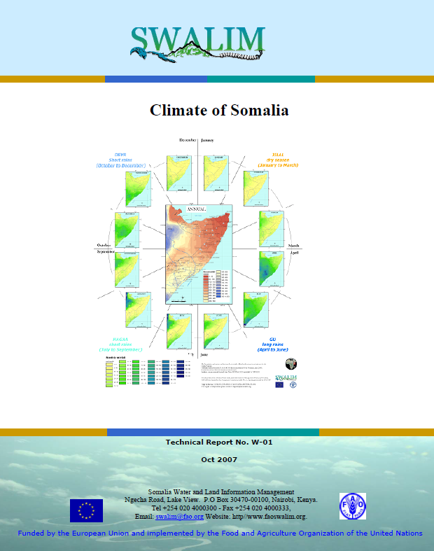
W-01 Climate of Somalia
Somalia generally has an arid to semi-arid climate. Rainfall is the defining characteristic of the climate and has a great spatial and temporal variability. The climate of Somalia is determined by the north and south movement of the inter-Tropical Convergence Zone (ITCZ).Publication Download