Publications
In the decade that SWALIM has been in operation, the project has made huge strides in increasing the quantity and quality of available land and water information for use by policy makers, development agents, the private sector and other stakeholders in and outside of Somalia. Much of the institutional memory that was lost or dispersed following the collapse of government has been recreated through the recovery of pre-war data and the acquisition and development of new information. SWALIM makes available this data and information through a variety of forms, including bulletins, email alerts, field reports, on-line systems and formal publications. The nature of the publications varies depending on the target stakeholders and the purpose. SWALIM’s publications include:
- Technical Reports - These describe the processes, progress, results, recommendations and conclusions of technical research and studies conducted in the areas of water, land and remote sensing in Somalia.
- Alerts and Bulletins - These are generated regularly and as needed to keep stakeholders informed on weather patterns and climatic phenomena during the different climate seasons.
- Atlases – SWALIM has produced 2 major Atlases: " The Atlas of Somali Water & Land Resources", which is a collection of national and regional maps showing administrative boundaries, the physical environment, topology, climate and special theme maps relating to water and land resources; and “ The Atlas of the Juba and Shabelle Rivers in Somalia", which showcases the results of an aerial photographic survey conducted in 2008 covering a 5km-wide strip along the banks of the two perennial rivers in southern Somalia.
- Newsletters – “SWALIM Update” is a quarterly newsletter produced to keep stakeholders aware of ongoing activities and events in SWALIM.
- Project Reports – At the end of each Phase, SWALIM produces reports covering the activities carried out and the achievements of the phase.
- Other Publications – SWALIM has produced a number of special publications such as, ”Somali Water and Land Resources – Calling for Attention ”, which is a compilation of information for policy-makers drawn from the results of numerous surveys, studies, data collections and processes carried out by SWALIM on water and land resources. In addition, SWALIM generates fact sheets, brochures, product catalogues and information system manuals related to different aspects of SWALIM work.
SWALIM Publications
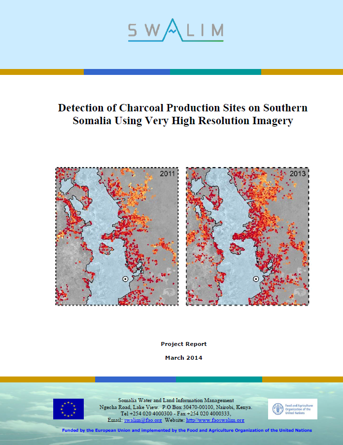
RSM-03 Detection of charcoal production sites in southern somalia using very high resolution imagery
Following more than 20 years of civil unrest, environmental information for Southern Somalia is scarce while there is clear evidence that the war economy fuelled by the conflict is rapidly depleting the country’s natural resources, especially the woody biomass.Publication Download
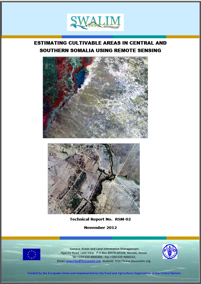
RSM-02 Estimating Cultivable Areas in Central and Southern Somalia using Remote Sensing
Somalia is largely a hot, arid and semi-arid country with rainfall amounts averaging between 50 and 500 - 600 mm per annum (even though some areas may receive slightly higher amounts).To provide a first estimate of the cultivable land, this study analyzed ASTER satellite images (and where not availaPublication Download
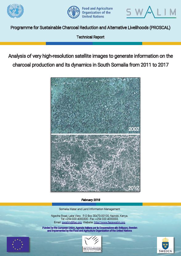
Update of analysis of very high-resolution satellite images to generate information on the charcoal production and its dynamics in South Somalia from 2011 to 2019
Charcoal is made by burning wood in a low-oxygen environment. According to FAO statistics, Africa accounts for 55% of the global charcoal production (FAO, 2014). However, these charcoal production estimates are often inaccurate when disaggregated at the national level.Publication Download