New Look for SWALIM’s Flood Risk and Response System
The SWALIM Flood Risk and Response Management Information System (FRRMIS), originally developed and launched in 2013, has been revamped to give users a better experience and more timely information. The FRRMIS is a web-based information dissemination and sharing platform that brings together essential information related to floods in Somalia into a single user interface. The new system uses a SWALIM custom web mapping technology and contains a variety of flood information presented in multiple formats. The FRRMIS is part of an overall strategy to promote flood preparedness and contingency planning, as well as supporting rescue and response operations.
The new FRRMIS, found under the Flood Monitoring section of this website, is divided into five main sections;
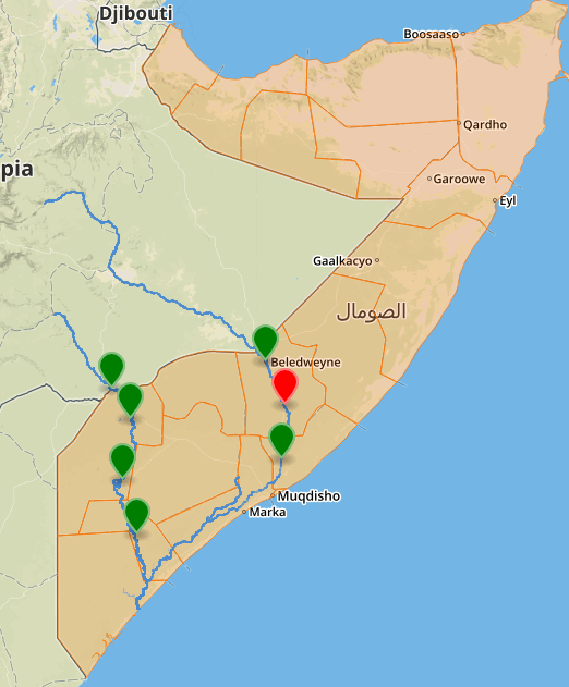
- Main: Gives a quick overview of the current situation, with a map of Somalia’s principle rivers and the latest data on river levels and flood risks from SWALIM’s gauge readers in the field. “Rolling over” the river station icons on the map shows the latest river level readings. Clicking on the station icons (or the names on the table), calls up a chart showing the historical mean river levels at that station as well as levels where the flood risk is moderate, high, or imminent (bank full).
- River levels and Flood information: Provides information on the current and historic river levels at the gauging points, as on the main page. There is also information on the Shabelle and Juba Riverine Basin Population Displacement Estimates, custom maps and useful SWALIM documents on floods and flood preparedness.
- River breakages: Shows the latest available data on riverbank breakages and the areas of potential flooding in southern Somalia.
- Rainfall data: A rainfall chart updated daily with data from across the country. Rainfall readings are taken from over 60 locations in Somalia.
- Map layers: This is comprised of a base layer map of Somalia with background information and several map layers which can be overlaid on top. Six different base maps are available. The 20 different map overlays are categorized into four types: Administrative capitals and boundaries, Rivers, Floods and Transportation Infrastructure. Users can overlay one or more of the map layers to get a visual picture representing a vast store of information.
The ultimate aim of the FRRMIS is to reduce the impact of floods on the population through prevention, protection and preparedness. Sharing information on the potential flood areas and rainfall forecasts allows people to prepare and prevent damage and loss of life in the flood-prone areas. Helping stakeholders take appropriate measures to reduce the likelihood of floods and/or the impact of floods in specific locations where breaks in river banks are detected or known to occur can also limit or prevent disaster.
- Log in to post comments